Introduction
Middle Tennessee is a lush, rolling landscape of hills, farmland, woods, and rivers. Bordered by the Tennessee River to the west, the ground rises through the karst topography of the Nashville Basin and the bluffs of the Highland Rim to the breathtaking Cumberland Plateau gorges and gulfs that form the foothills of the Appalachian Mountains. The limestone bedrock creates a fascinating combination of caves and prairie-like cedar glades that are home to several unique species of plants.
The human history of Middle Tennessee is as rich as its fertile soil. Several Native American tribes lived, hunted, and roamed the area, primarily the Cherokee and Chickasaws. Early European visitors found the land wild and daunting. Legendary frontiersmen such as David Crockett and Daniel Boone cemented their place in American history with their roles in settling the state. The Civil War turned much of the state into a pivotal battlefield as the territory changed hands repeatedly.
Tennesseans value our outdoor resources highly, with a huge number of parks, trails, and greenways available throughout the state. We’re fortunate to have the fantastic Tennessee State Parks to preserve our lovely landscape and cultural heritage. The 56 parks in the system all offer hiking, as well as many other activities such as fishing, boating, and camping. The park staff and volunteers universally embody another bountiful Tennessee resource–Southern hospitality and friendliness. And one more wonderful thing about our state parks… admission is FREE for all!
With so much to offer, it’s hard to know where to start when it comes to Tennessee trails. I’ve been hiking in Tennessee all my life, and I still have a long list of trails I haven’t done! Over the next several articles, I’m presenting my favorites within an easy day trip distance of Nashville that showcase the beauty and history of our state. Happy hiking, and hope to see you on the trail soon!
20. Dunbar Cave
19. Jones Mill Trail
18. Cheeks Bend Bluff
17. Hidden Lake
16. Bledsoe Creek
Part 2, 11-15 (coming soon!)
Part 3, 6-10 (coming soon!)
Part 4, 1-5 (coming soon!)
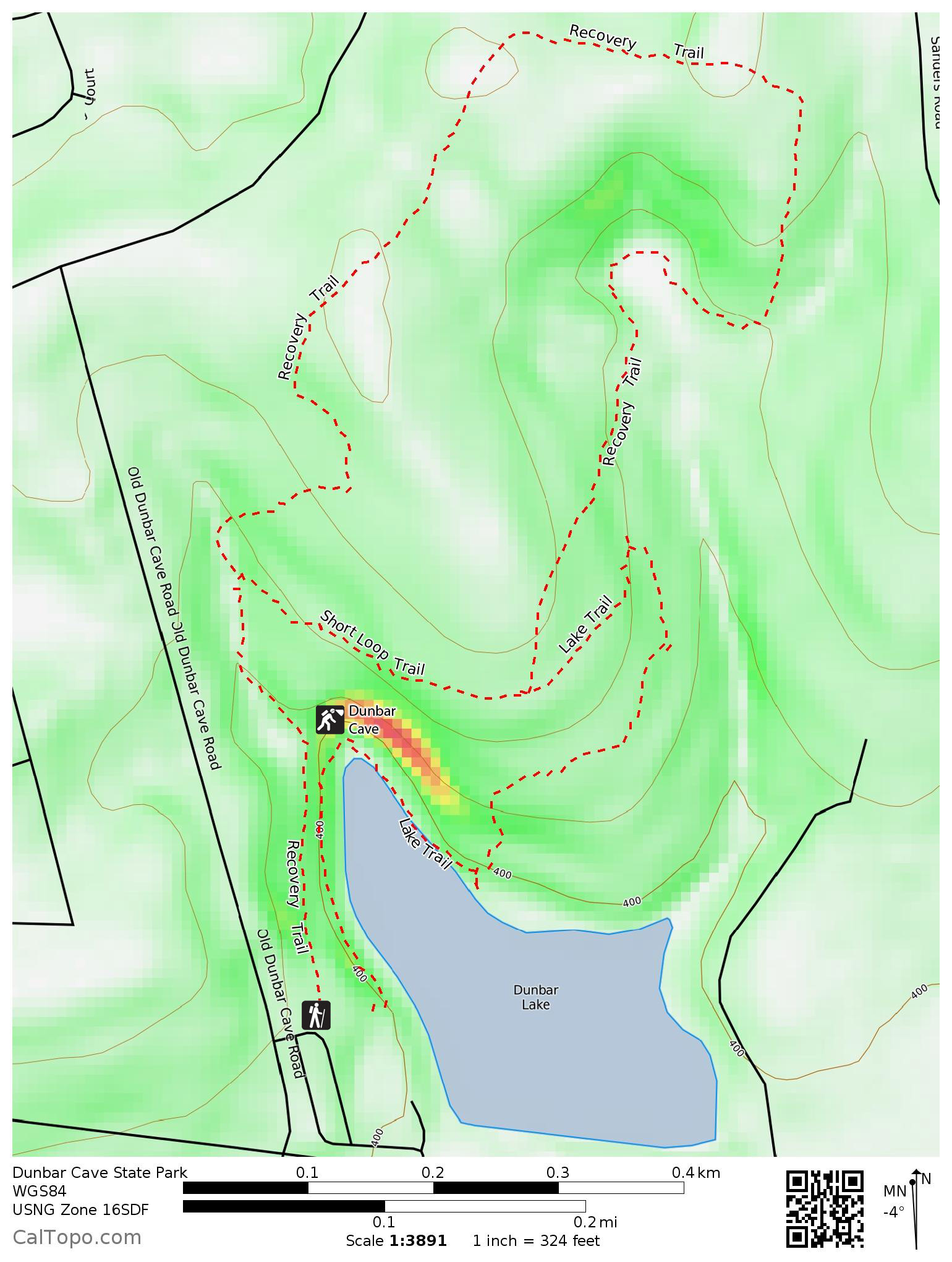
20. Dunbar Cave

Dunbar Cave State Park (website), Clarksville, Tennessee
1.9 mile loop via Recovery Trail and Lake Trail with shorter option available
Difficulty: Easy
Trailhead: N36.55095°, W87.30621°
Highlights: Striking cave entrance, lake shore, historical interest
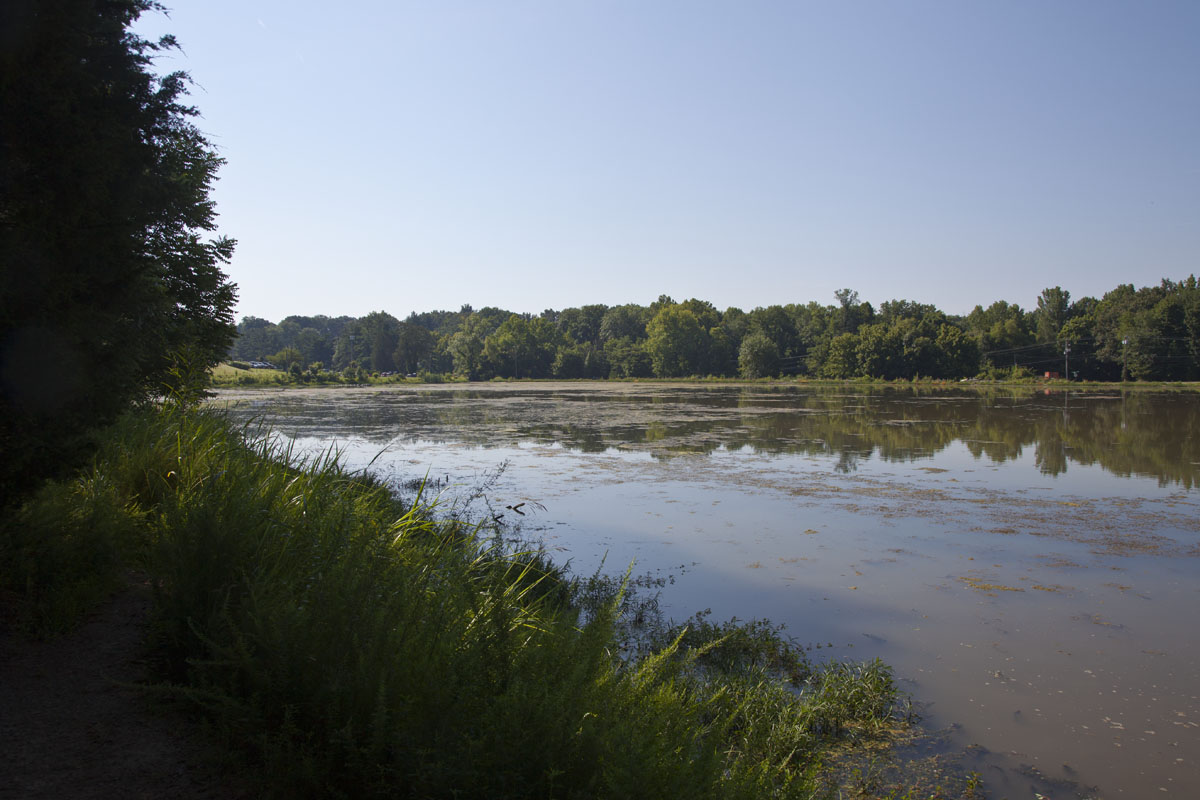
Dunbar Cave has a rich history, most notably as a venue owned by Roy Acuff for live music, dancing, and radio broadcasts. This attractive loop trail passes through a forest of cedars and hardwoods, along the shore of spring-fed Swan Lake, and next to the cave entrance that forms a natural bandshell. Tours of the cave require reservations for one of their ranger-led programs. Over 8 miles of cave passages have been explored, and it is noteworthy for its large, sheltered entrance.
This is a very popular area and can become crowded. While the suburban setting never quite escapes the hustle and bustle of Clarksville, it’s a peaceful respite nonetheless, and a haven for waterfowl and wildlife.
Hike this loop clockwise, saving the best parts of the trail for last. Start at the marked trailhead by the upper parking lot and follow the Recovery Trail. You’ll quickly pass a trail leading to the cave that goes off to the right; keep going on the Recovery Trail. Go left at the next junction to stay on the Recovery Trail (you can take the Short Loop Trail if you’d like a 1.1 mile total route). The path winds through mainly wooded areas, up a hill and along bottomland, before reaching the other end of the Short Loop Trail and the shore of Swan Lake. Some stairs will take you to the mouth of the cave. From there, it’s a short walk back to the parking area.


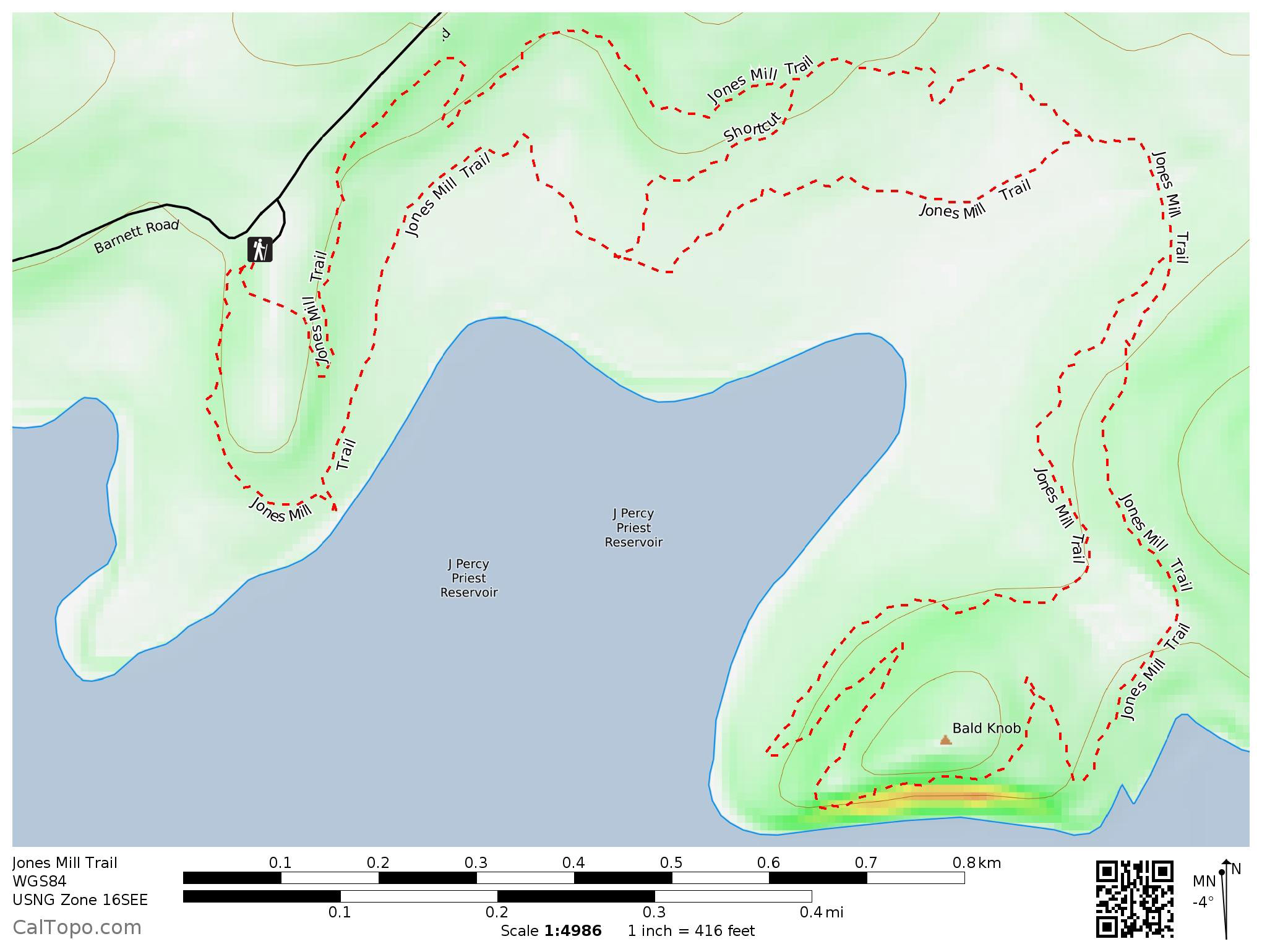
19. Jones Mill Trail

Long Hunter State Park (website), Hermitage, Tennessee
4 mile double loop with shorter options available
Difficulty: Easy first loop, moderate second loop due to hill climb
Trailhead: N36.07455°, W86.50989°
Highlights: Wildflowers, cedar glades, lake views
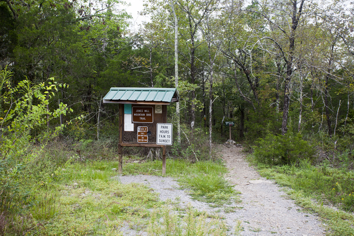
One of the newer trails in the Nashville area, the Jones Mill Trail was designed for mountain bikes, but makes for a fine hiking experience too. This double loop winds its way through forests and meadows, ranging from the shore of J. Percy Priest Lake to the top of Bald Knob.
A noteworthy feature of this trail is that it passes through several cedar glades. This unique habitat occurs only in Tennessee and Kentucky. Limestone bedrock is either exposed or covered only by a thin layer of soil, leading to plant life typically found in desert environments. The Tennessee coneflower (Echinacea tennesseensis) is one of the interesting species you might see along this trail. This beautiful light-purple member of the sunflower family is found in less than ten locations, all within Davidson, Rutherford, and Wilson Counties. Thought to be extinct in the 1960s, successful habitat preservation efforts of the Nature Conservancy and Tennessee State Parks have led to its removal from the endangered species list.
Bikers have the right-of-way on this trail: listen for them and be prepared to step aside and let them pass. Note that there is wide variance of reported trail distances. The park website lists it as 4.5 miles, and it’s commonly listed as 3.6 in hiking guides. My GPS recorded 4 miles for the two loops as well as the shortcut connector in both directions.
Just past the trailhead, note the “Direction of Travel” arrow and follow it to do the first loop clockwise. The trail will ascend gently through scrub brush and cedar glades, and there will almost always be wildflowers here during the warmer months. At about 3/4 mile in, a shortcut trail leading to the right allows for a quick return to the trailhead. The first loop completes in bottomland. A short there-and-back segment crossing an old stone fence leads to the second loop. Follow this loop clockwise as well, climbing the steep trail to the top of Bald Knob. You’ll parallel the lake shore for the rest of the hike, completing the Bald Knob loop, then staying left when you reach the first loop. The lake shore is easily accessible from this portion of the trail.


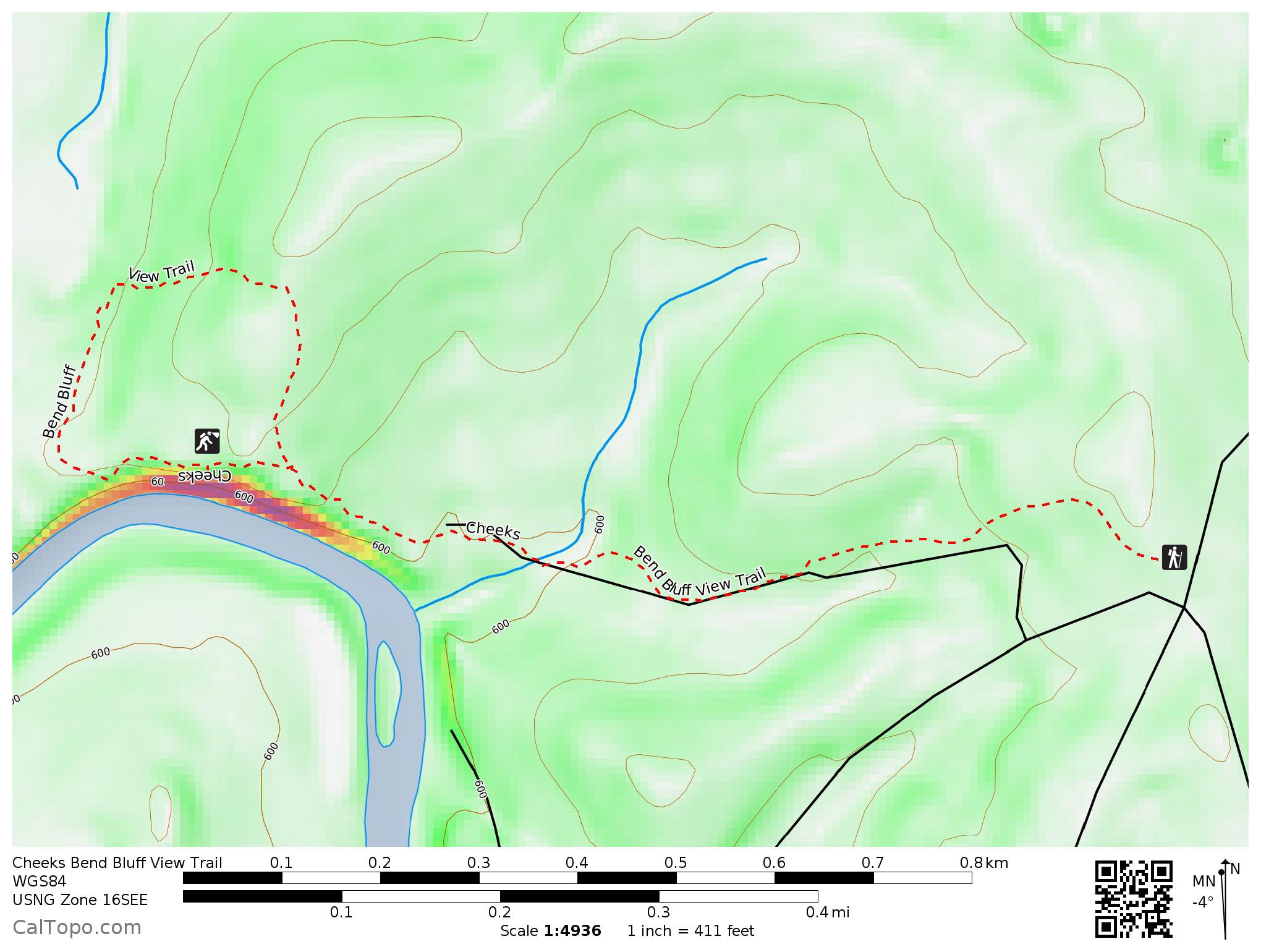
18. Cheeks Bend Bluff View Trail

Duck River Complex State Natural Area (website), Columbia, Tennessee
1.8 mile balloon
Difficulty: Easy
Trailhead: N35.56813°, W86.88489°
Highlights: River view, cave
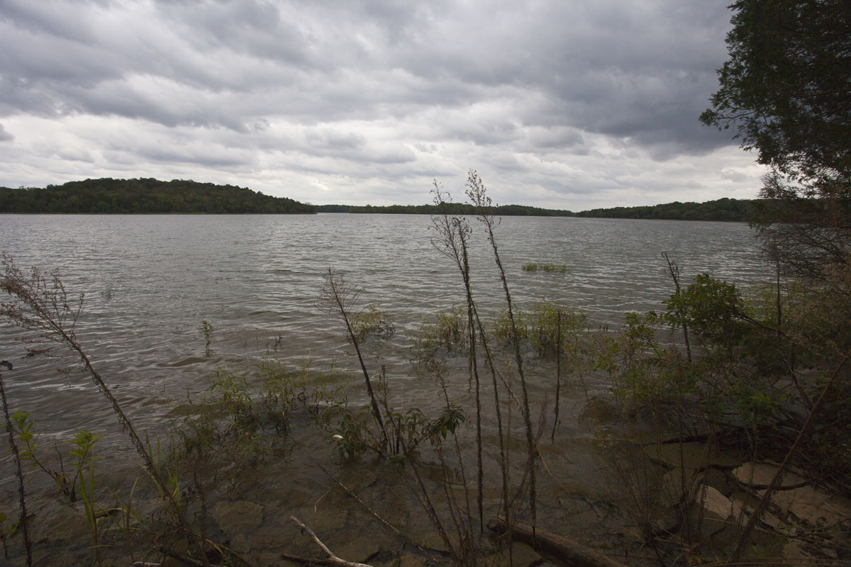
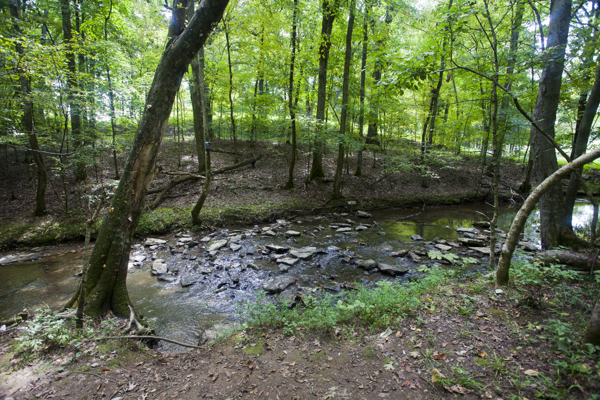
The Duck River is the most biologically diverse river in North America, home to over 500 species of plants, 150 of fish, and 50 of mussels. It drains much of the southern portion of the Highland Rim, flowing into the Tennessee River southwest of Waverly. The Cheeks Bend tract of the Duck River Complex protects an overlook of the river.
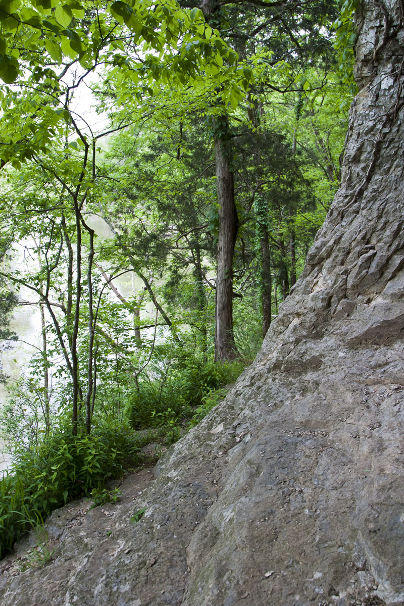
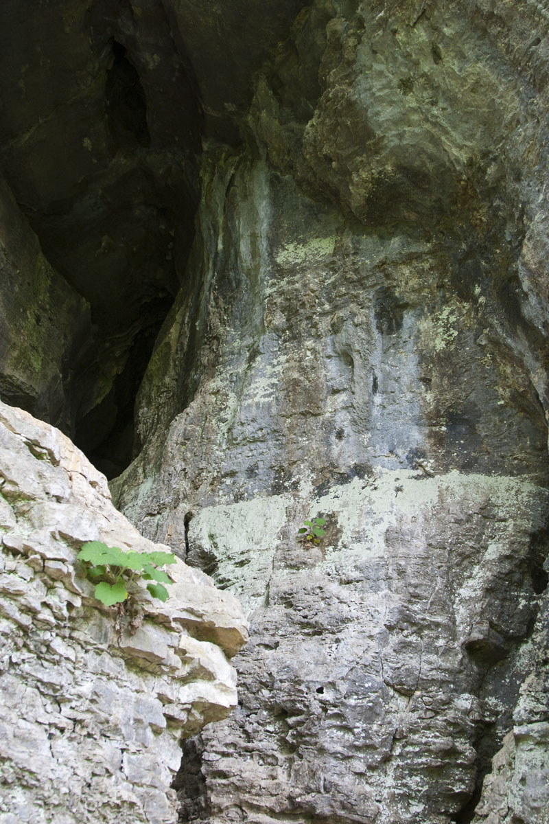
This is a trail that is simply fun to do. My favorite part is a small cave leading from the top of the bluff to a riverside view below. Note that the cave may be closed at times to protect bats from the spread of white-nose syndrome; please respect the closure if the signs are present. The cave slopes downward steeply; watch your head! You’ll be able to see the light from one of its entrances throughout the passage.
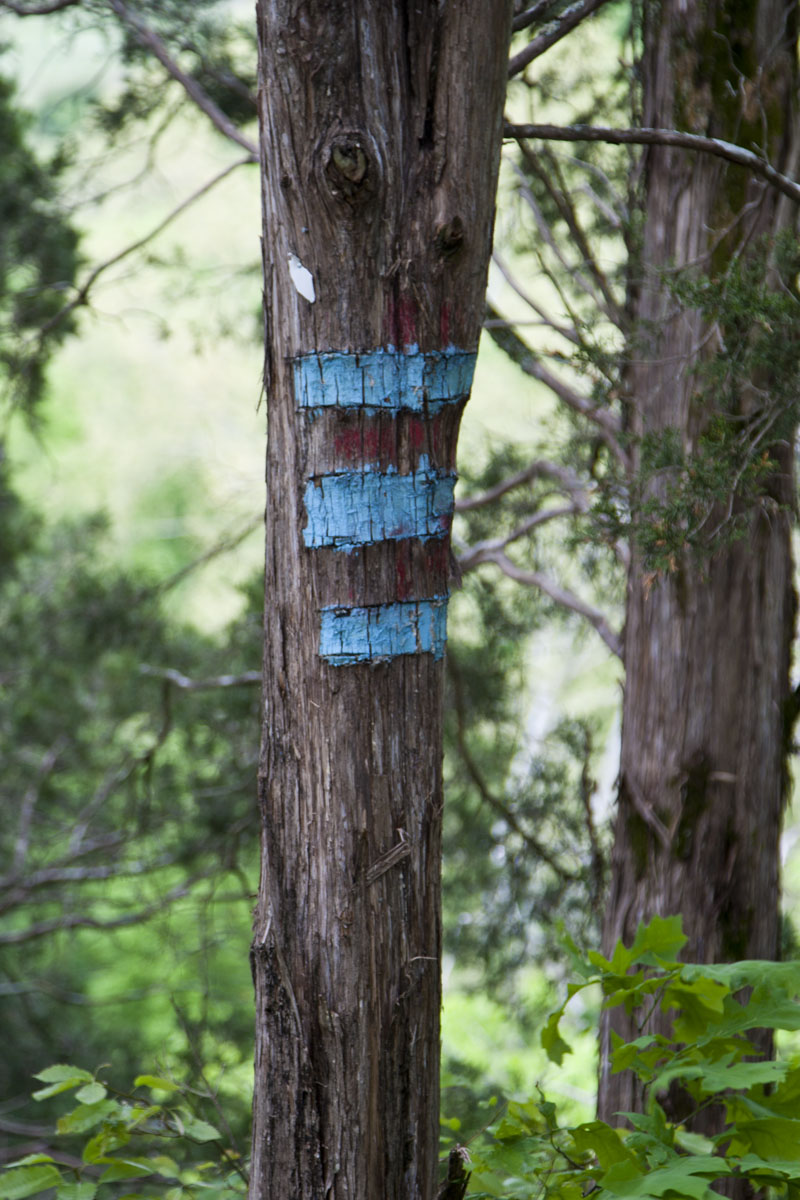
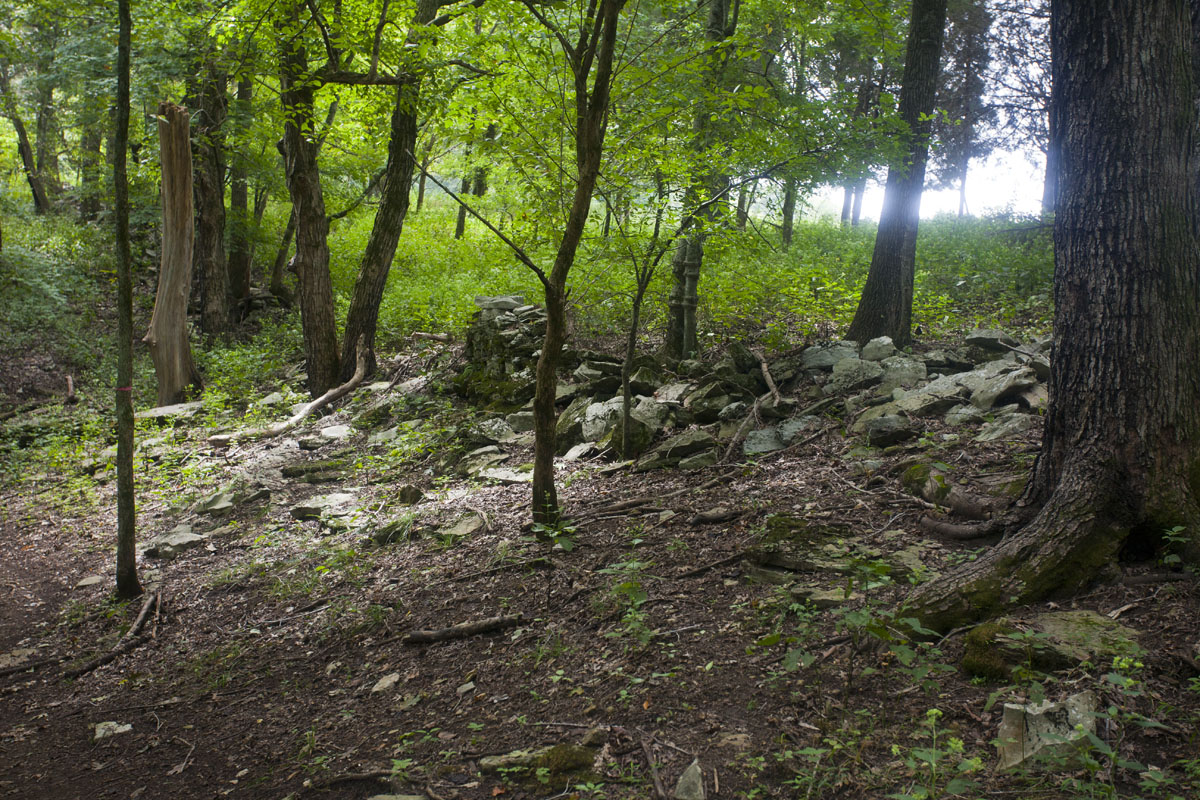
From the trailhead, follow a there-and-back portion of the trail for about 3/4 mile to the loop junction. Keep left, coming quickly to the riverside bluff. After enjoying the view, look for the eye-catching blue and red blazes that denote the cave entrance, which is several steps behind you if you’re standing on the bluff facing the river. As you complete the loop portion, the porous limestone geography that lends itself to caves is obvious in the sinkholes and exposed rock.


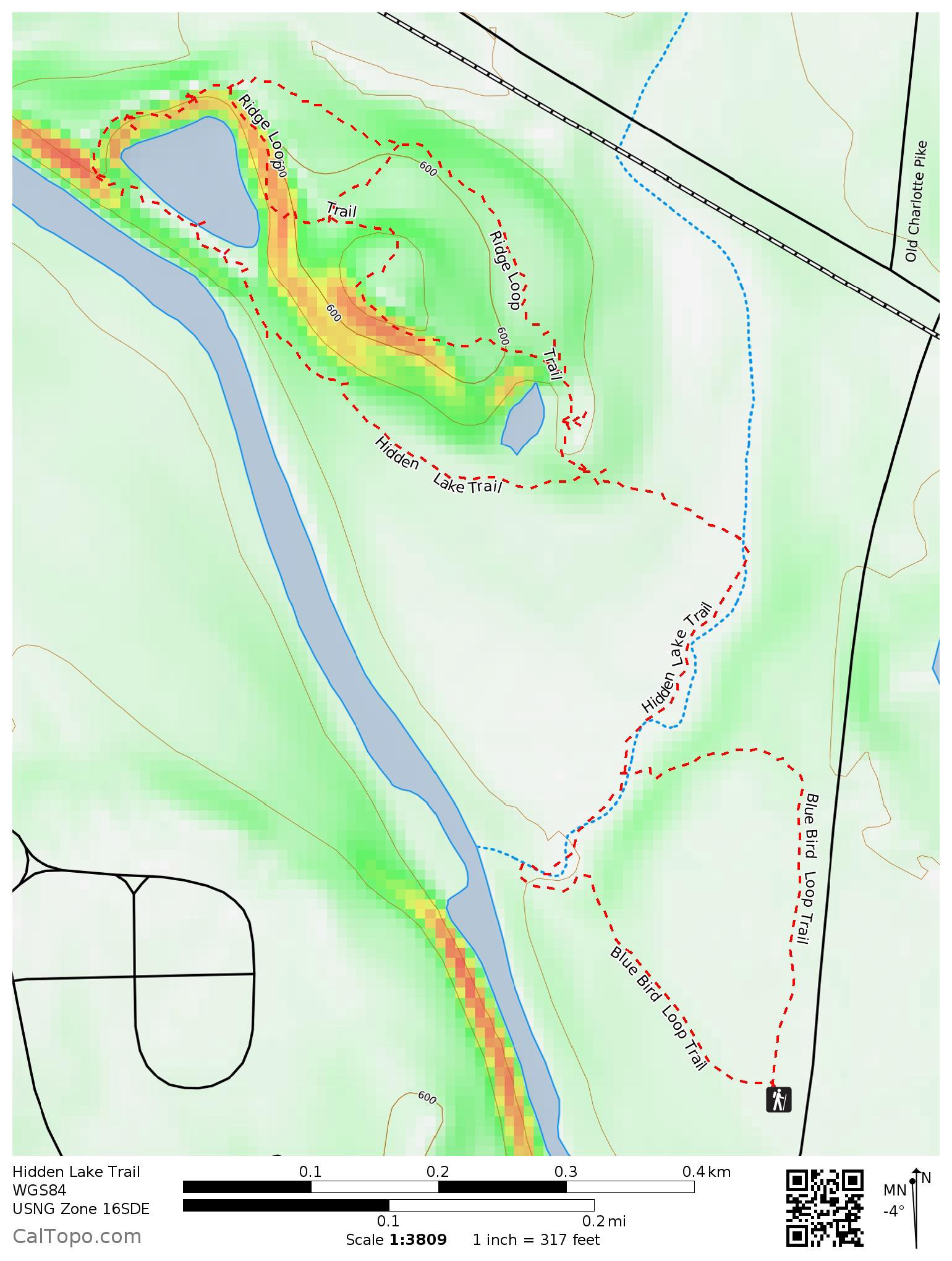
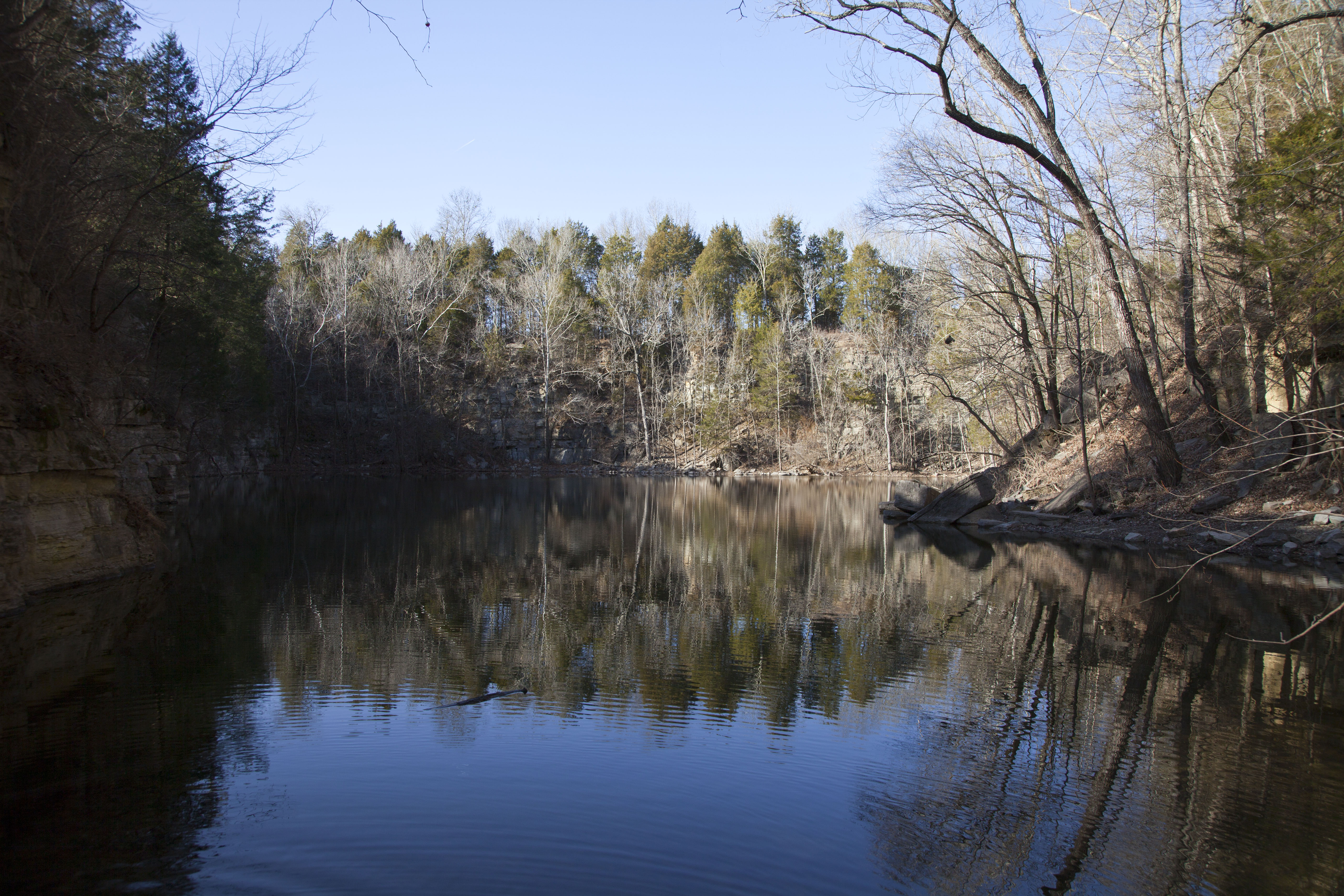
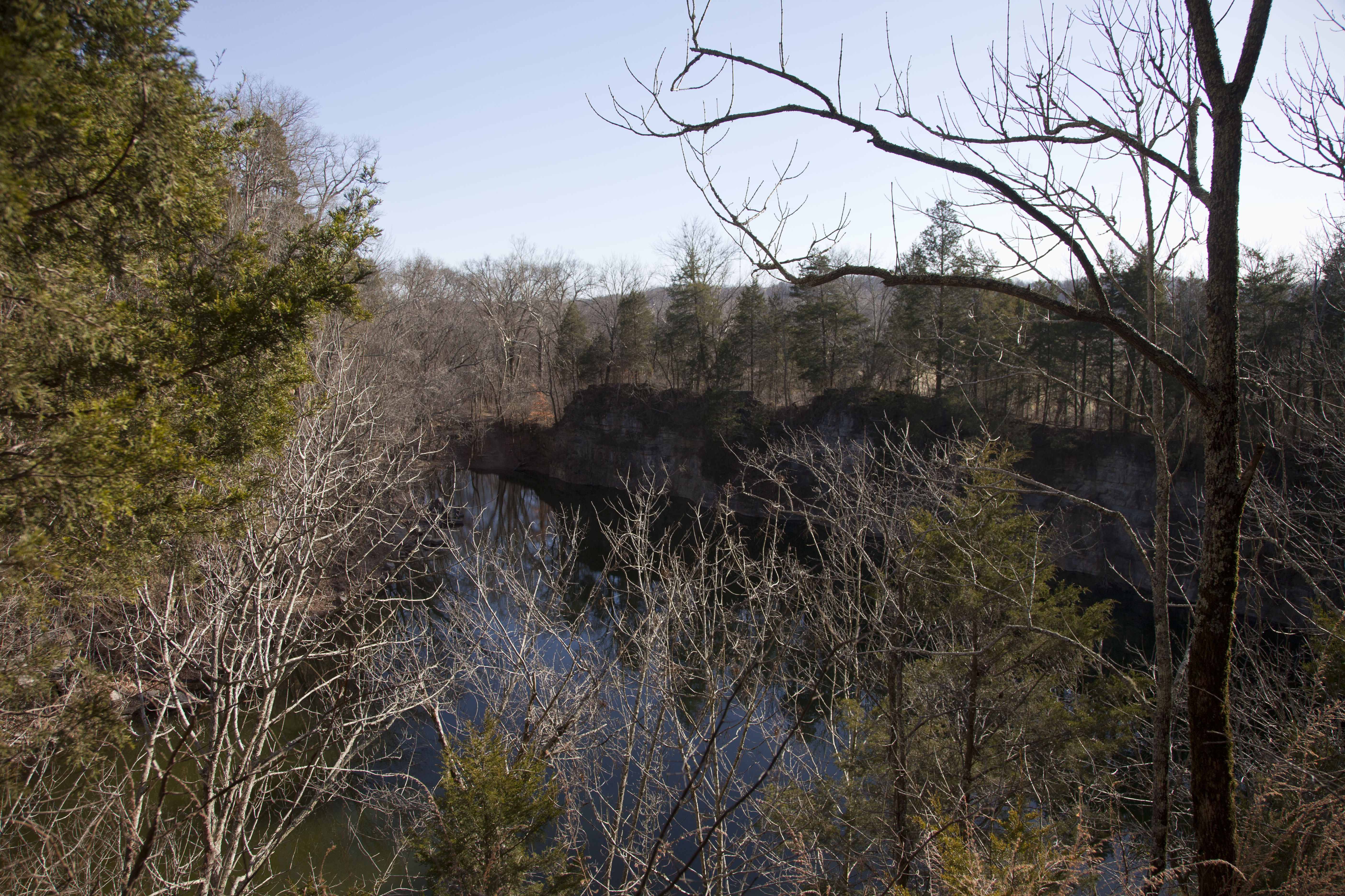
17. Hidden Lake

Harpeth River State Park (website), Kingston Springs, Tennessee
1.9 mile double loop with shorter options available
Difficulty: Moderate due to bluff-top trail around lake
Trailhead: N36.08790°, W87.02458°
Highlights: River views, stone bluffs, beautiful lake, historical interest, wildlife
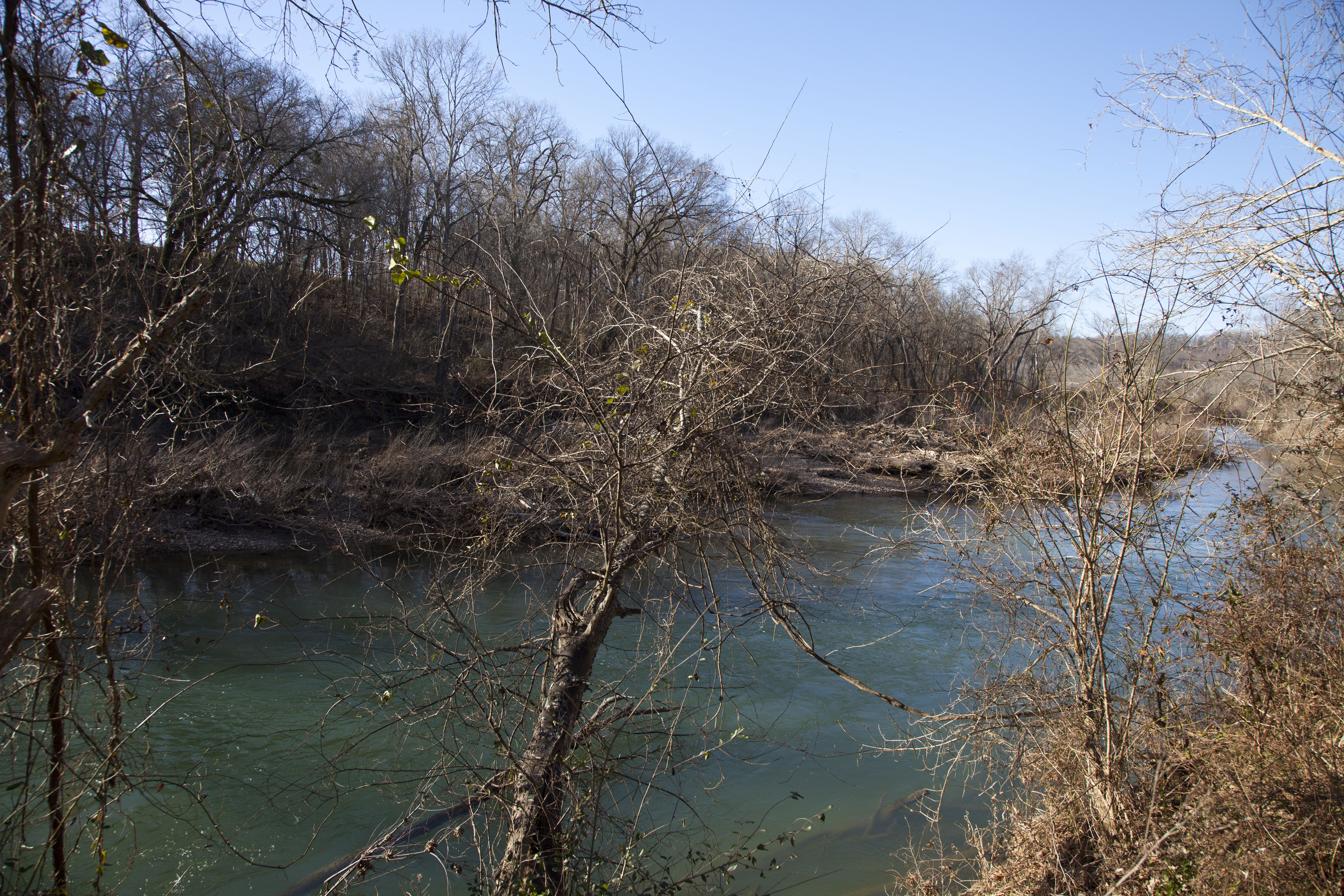
The Hidden Lake tract was recently added to Harpeth River State Park, which protects several segments of this 115-mile tributary of the Cumberland and provides nine access points for canoe and kayak launches. This tract is easily accessed from McCrory Lane off I-40, and its appeal to both hikers and paddlers can lead to busy weekends.
This hike has a little something to offer to everyone. Abundant wildlife and birds will please any naturalist. Hidden Lake is formed by an abandoned quarry, and its deep blue waters make for picturesque views. The trail is interesting, climbing the rim of the quarry to circle the lake. The ruins of a resort from the 1940s add a little bit of long-ago pizazz to the hike.
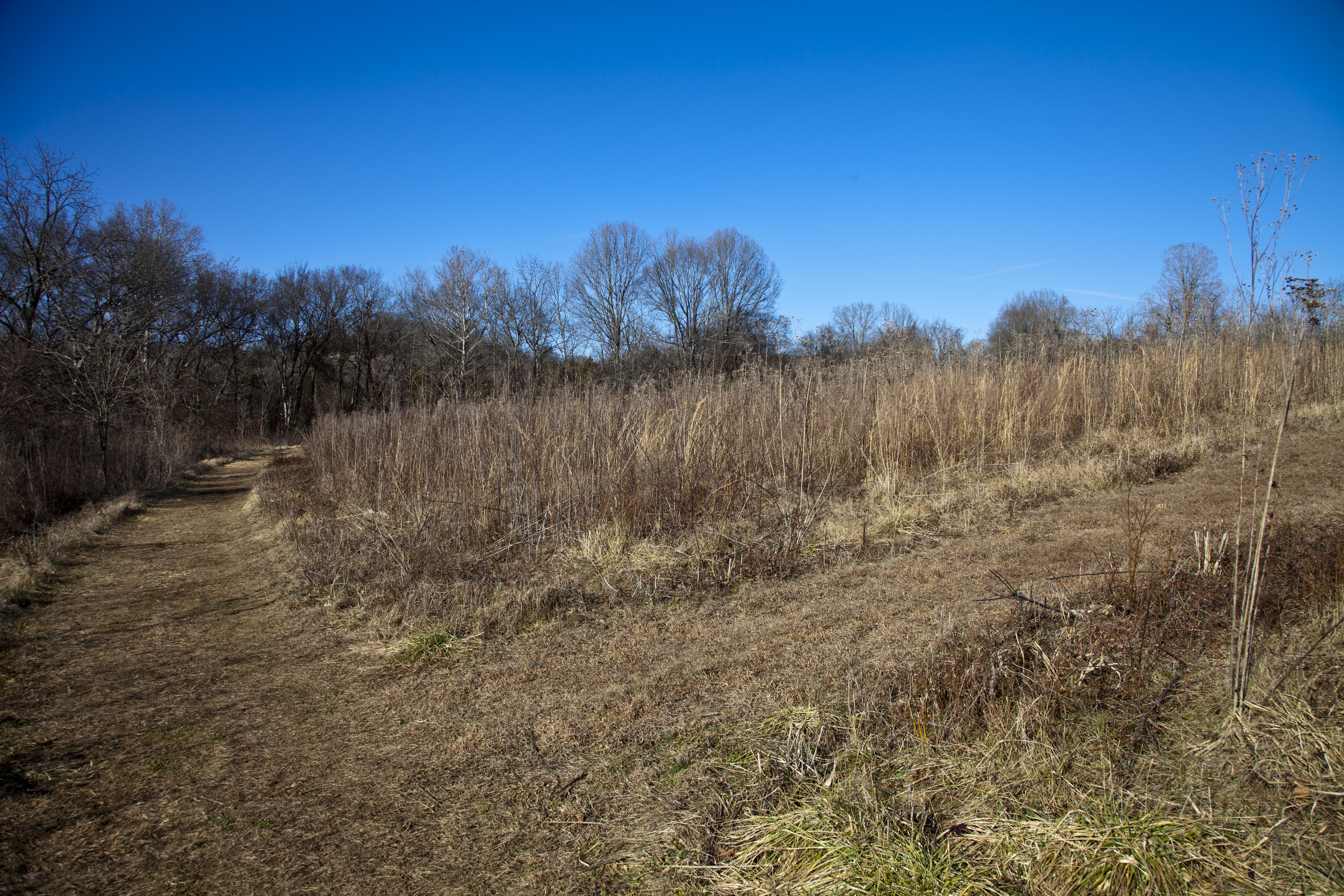
The Blue Bird Loop Trail departs from the informational kiosk through a mowed path in a field, skirting the treeline at the banks of the Harpeth. A feeder stream marks the edge of the meadow. Follow the Hidden Lake Trail through heavier woods to a trail junction. Stay left on the Hidden Lake Trail. The steep bank to your right leads to one part of the quarry–scramble up it on the social trail if you like. Soon you’ll near the Harpeth again, and just around the corner is the first view of Hidden Lake. Climb the steep path around the edge of the quarry, enjoying several viewpoints over the waters. Stay wary of the steep edge! After skirting the lake, you’ll come to a junction with the Ridge Loop Trail. Choose whichever path you like–they wind up in the same place. A shortcut trail leads between the two halves of the loop. As the two halves meet again, you’ll find the ruins of the resort at the side of the trail. Turn left on the Hidden Lake Trail just as you complete your descent of the bluff and follow it back to the Blue Bird Loop Trail. Take the half you didn’t follow before back to the trailhead.


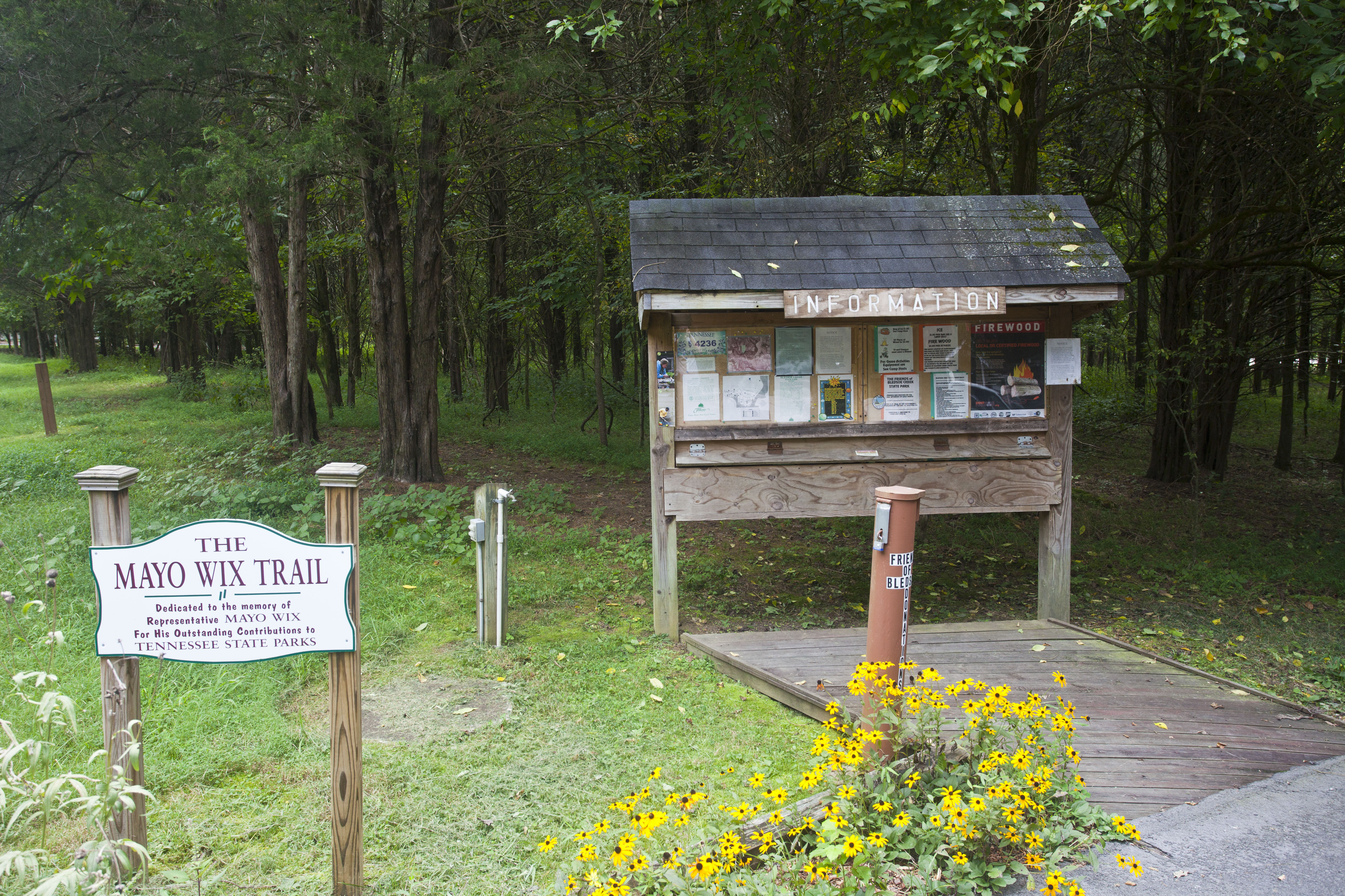
16. Bledsoe Creek
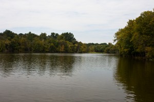
Bledsoe Creek State Park (website), Gallatin, Tennessee
3.1 mile loop with shorter options available
Difficulty: Moderate due to one steep climb
Trailhead: N36.37843°, W86.36026°
Highlights: Wildlife, lake views, peaceful forest and pastureland
I’m quite fond of Bledsoe Creek State Park, as I grew up near Gallatin and visited it many times. Its lakeshore location makes for great wildlife viewing. Hawks, herons, egrets, turtles, ducks, and geese are common sights along the shore. The park is bordered to the north by open pastures, and the transitional zone between forest and meadow is prime habitat for whitetail deer.
The park also provides a special opportunity for natural encounters with the paved, ADA-compliant Mayo Wix and Birdsong Nature Trails. A long boardwalk and a boat dock are good viewpoints for wildlife watching as well.
Start at the Mayo Wix Trailhead, following the paved path to the Shoreline Trail. At the first junction, turn left for the quickest route, stay straight for a slightly longer one, or go right for the long way. After checking out the wildlife viewing area, follow the Shoreline Trail along the Bledsoe Creek embayment. You’ll pass near camping sites and cross a park road. The trail goes through a wider bottomland to the junction with the High Ridge Trail. Get ready, because the High Ridge Trail starts with a bang as it ascends a steep hill to (you guessed it!) the top of a ridge. The trail meanders along the ridge, with forest to the left and pasture to the right. You’ll pass junctions with the Owl Ridge Trail and a shortcut as the trail descends back to bottomland. After crossing the road by the park entrance, use the Mayo Wix Trail to return to the starting point.


Safe Hiking
Hiking is a fun activity, but a bit of preparation will pay off in comfort, enjoyment, and safety. Adventure Alan’s excellent article 13 Essentials for the Modern Hiker will help you be prepared with gear and skills to stay safe on the trail.
Leave No Trace
As we are fortunate to have such wonderful natural treasures to enjoy, so are we obligated to protect and preserve them. The Leave No Trace Center for Outdoor Ethics is a wonderful resource to learn about using these beautiful places in a manner that will leave them for future generations. Their 7 Principles should guide you in all your outdoor activities.
Geek Stuff
I recorded all tracks with either a Garmin GPSMap 60CSx or a Garmin GPSMap 64s. I cleaned the tracks to remove spurious points and split into separate trails (to allow each trail to be individually labelled) in Garmin’s BaseCamp software. I imported the tracks into CalTopo to generate the topographic map, then edited the resulting image in Adobe PhotoShop to add captions and icons.
All photographs were taken by me using either a Canon EOS 10D or a Canon 5D Mark II (with maybe the odd iPhone shot thrown in for good measure). I usually hike with the Canon EF 24-105mm f/4L IS lens, which is a good combination of versatility, image quality, and weight. I occasionally use a Canon EF 50mm f/1.4, a Canon EF 24-70mm f/2.8L IS, or a Canon EF 17-40 f/4L.
Disclaimer
It unfortunately bears saying, in our litigious culture, that you are responsible for your own safety while hiking. This includes evaluation of your own abilities and limitations, bringing proper equipment, evaluating the current conditions of a trail, learning appropriate outdoor skills such as navigation and safety around wildlife, and much more. I assume no liability for any consequence arising from your use of the information provided here, from any omission, or from any out-of-date or obsolete information.

Nice overview.